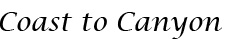


A view of the Jamboree Center in Irvine, one of the first urban developments in the city.
The layout of Irvine was designed by Los Angeles architect William Pereira and Irvine Company employee Raymond Watson, and is nominally divided into townships called villages. The townships are separated by six-lane streets. Each township contains houses of similar design, along with commercial centers, religious institutions and schools. Commercial districts are checker-boarded in a periphery around the central townships.
Pereira originally envisioned a circular plan with numerous man-made lakes and the university in the center. When the Irvine Company refused to relinquish valuable farmland in the flat central region of the ranch for this plan, the University site was moved to the base of the southern coastal hills. The design that ended up being used was based on the shape of a necklace (with the villages strung along two parallel main streets, which terminate at University of California, Irvine (UCI), the “pendant”). Residential areas are now bordered by two commercial districts, the Irvine Business Complex to the West and the Irvine Spectrum to the East. Traces of the original circular design are still visible in the layout of the UCI campus and the two man-made lakes at the center of Woodbridge, one of the central villages.
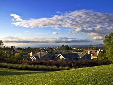
The villages
Each of the villages was initially planned to have a distinct architectural theme.
Demographics
|


|
||||||||||||||||||||||||||||||||